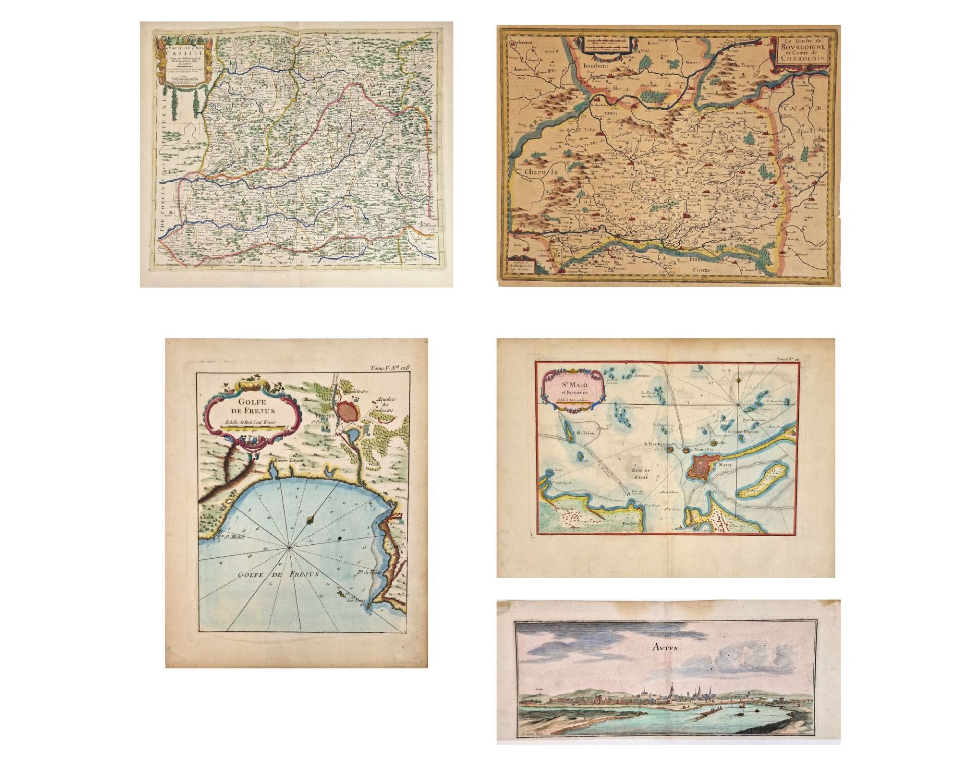
Set of 4 colored geography maps from the 17th - 18th centuries: - A map of old and new Castille from the observations of Rodrigo Mendes Silva and others - 50 x 60 cm (folds, scotch tape) - Le Duche de Bourgoigne et Comte de Charolois - Horridus 40 x 52 cm (missing, pinholes, burnished) - Golfe de Frejus, Bellin, 1780, recent color - 27.5 x 22.5 cm - St Malo et environ, Bellin, 1780, recent color - 32 x 44 cm (small edge tears, missing) Attached is a color engraving of the town of Autun, Merian (14.5 x 37 cm) (cut)
Estimate
€50 - €80
Result
€90
Buyer's premium
34%
Set of 4 colored geography maps from the 17th - 18th centuries:
- A map of old and new Castille from the observations of Rodrigo Mendes Silva and others - 50 x 60 cm (folds, scotch tape)
- Le Duche de Bourgoigne et Comte de Charolois - Horridus 40 x 52 cm (missing, pinholes, burnished)
- Golfe de Frejus, Bellin, 1780, recent color - 27.5 x 22.5 cm
- St Malo et environ, Bellin, 1780, recent color - 32 x 44 cm (small edge tears, missing)
Attached is a color engraving of the town of Autun, Merian (14.5 x 37 cm) (cut)
Sale
Sunday 21 September 2025・18:00 (Europe/Paris)
Sale location coming soon
79, rue de Vaugirard
75006 Paris